Survey Services
Solutions in Spatial Data Management
Professional survey services that provide practical solutions to any land related issues legally and using appropriate tools. Survey Services include the following;
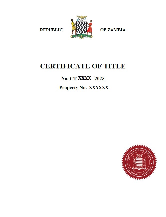
- Cadastral and Land Survey: For Residential, Commercial, Industrial or Agriculture Survey Services
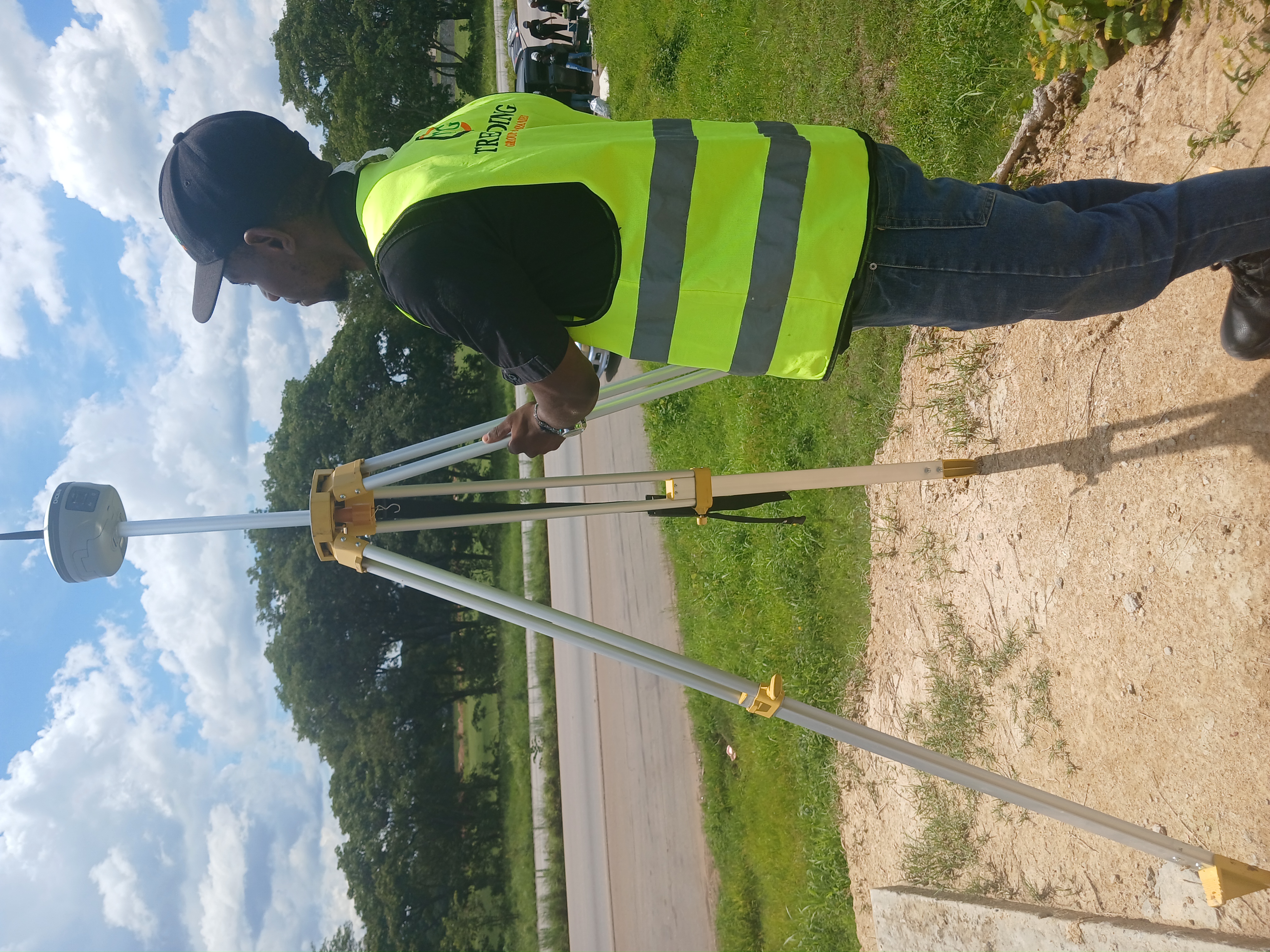
- Topographical/Engineering Surveys: We conduct comprehensive mapping of land features, elevations and physical details and produce reports that support Planning, small and large scale construction designs, setting out and other Engineering projects
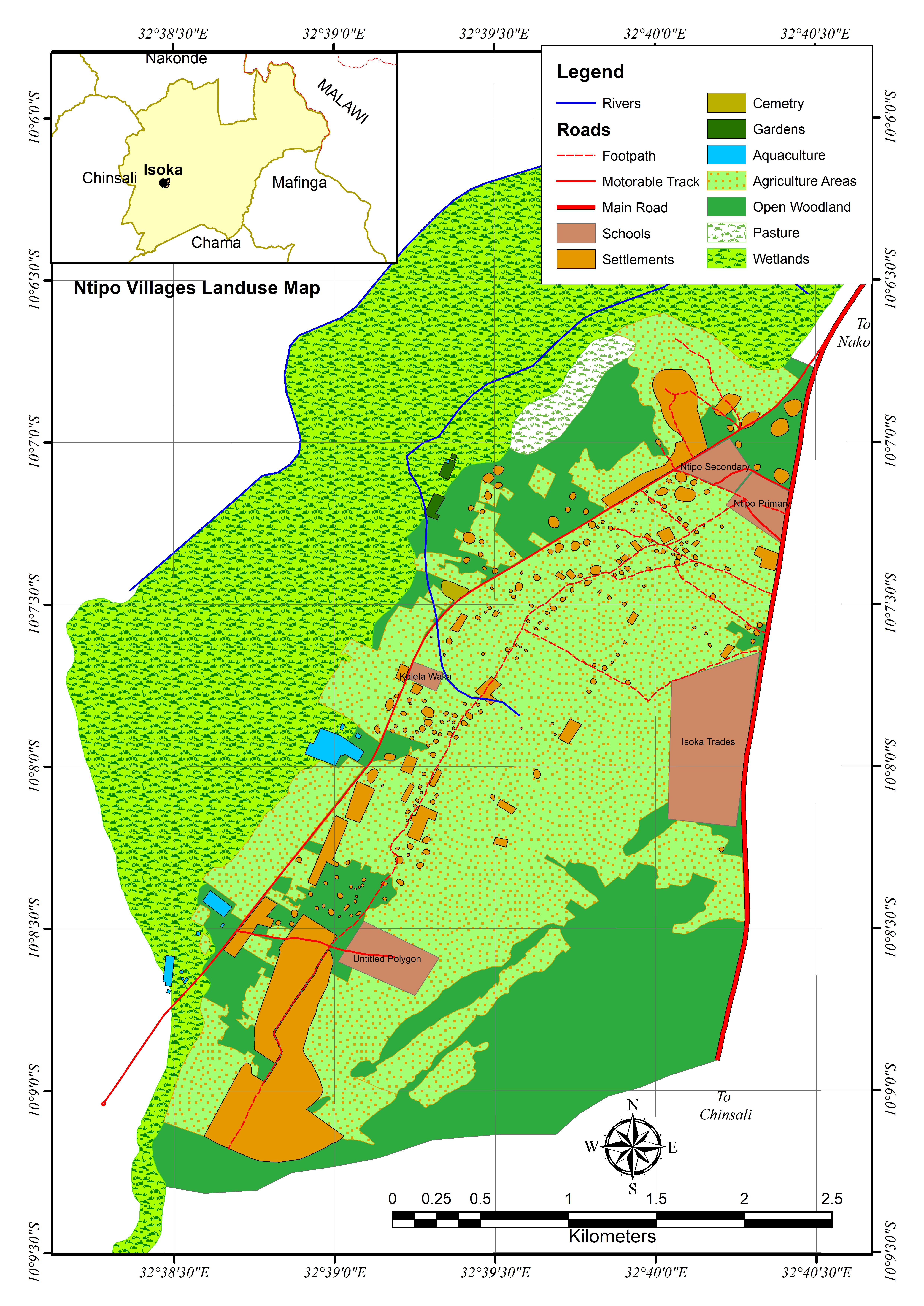
- GIS and Spatial Data Analysis: We widely use Geographical Information Systems (GIS) and modern tools such as (UAV for Aerial Survey) to capture and analyse spatial data which enables our clients make informed decisions in planning, design, construction, land or Natural Resource Management.
100%
Statutory ComplianceFast-Track
Approval Process
Get Expert Advice
Need professional guidance on your next development project? Our certified planners are ready to assist.
Request a Quote