What We Do
Our Core Professional Services
Trending Group provides end-to-end technical and advisory solutions to reduce project risk and accelerate approvals across the built environment.
 Spatial Planning" style="height: 250px; object-fit: cover;">
 Survey Services" style="height: 250px; object-fit: cover;">
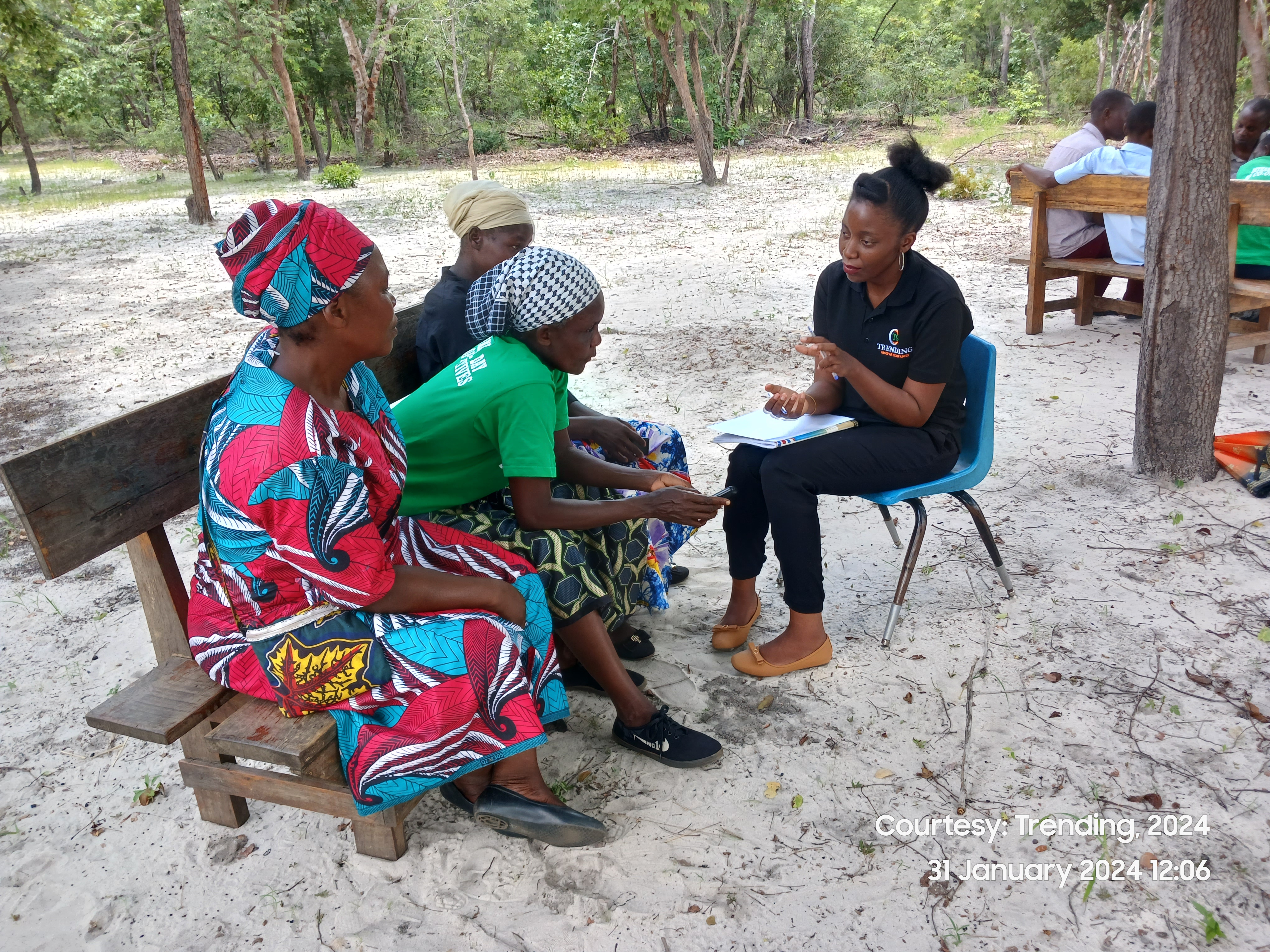
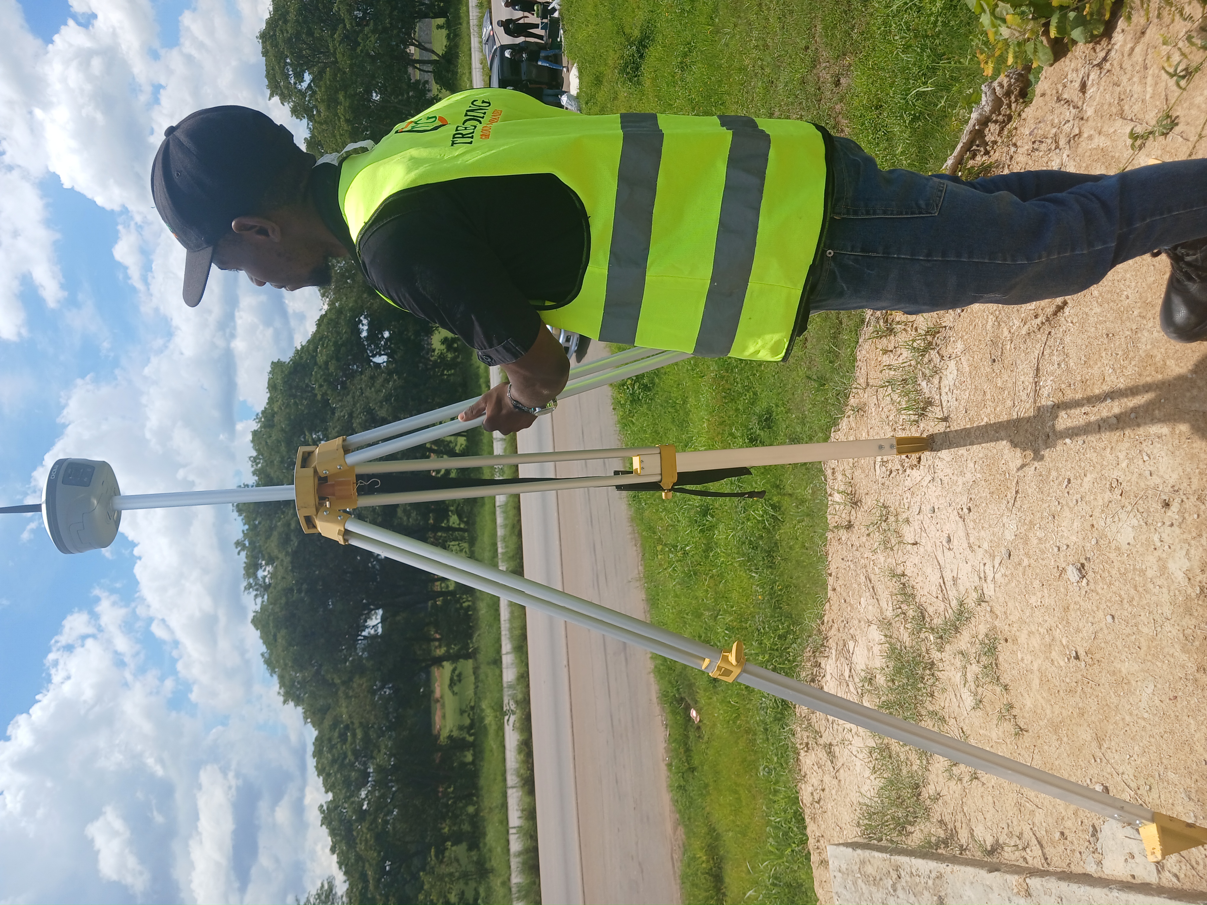
Survey Services
Solution Based and Industry Ready Data Capturing and Interpretation using advanced Technologies.
Learn More Property Advisory" style="height: 250px; object-fit: cover;">
 Geo-spatial Data Analysis" style="height: 250px; object-fit: cover;">
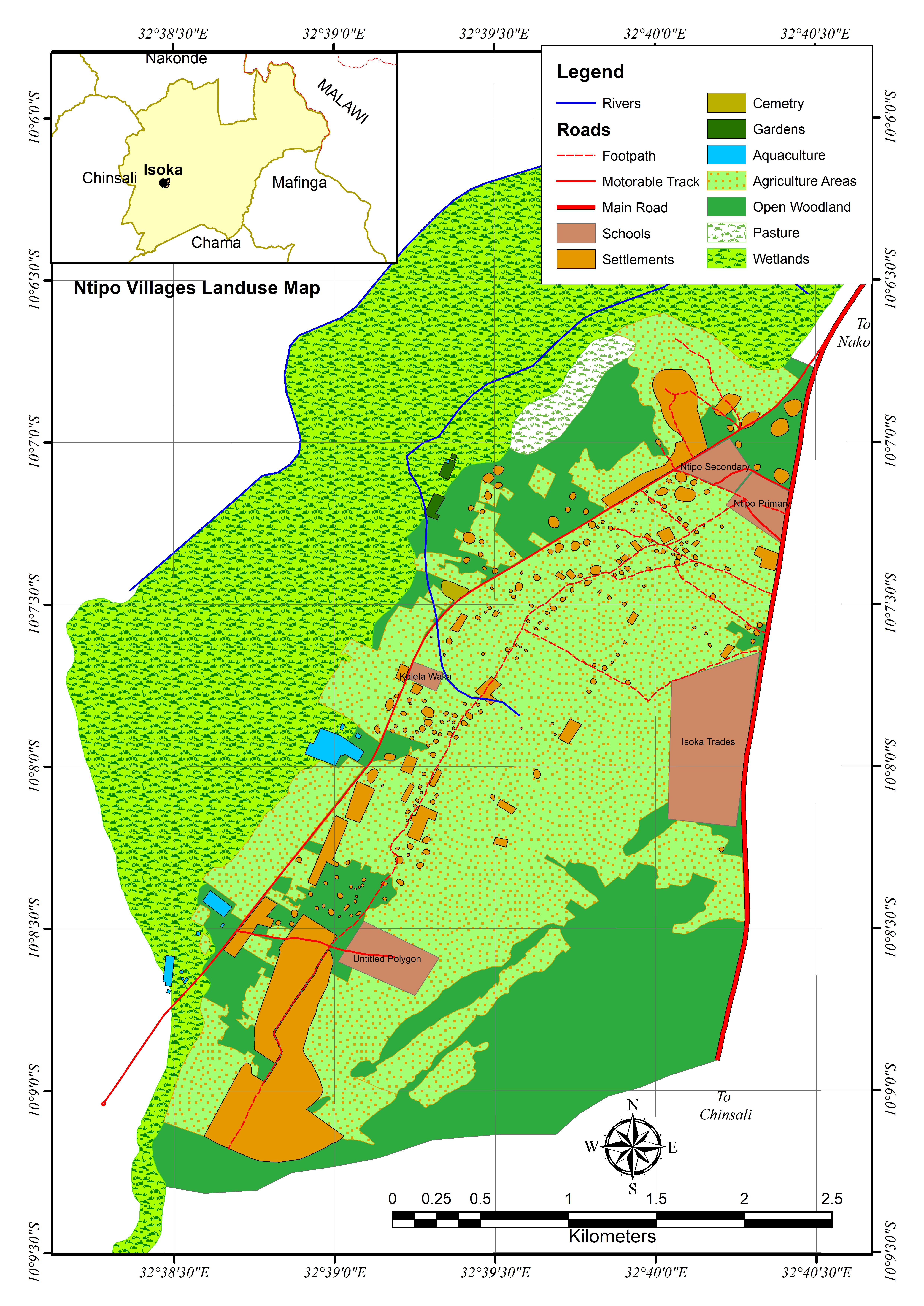
Geo-spatial Data Analysis
Harnessing geospatial data and advanced mapping to drive informed, data-driven decisions.
Learn More