Geo-spatial Data Analysis
Spatial Data Analytics
Trending Group provides high-end Geographic Information Systems (GIS) solutions that transform raw spatial data into actionable business intelligence. We help you visualize, analyze, and interpret complex data to understand patterns and trends.
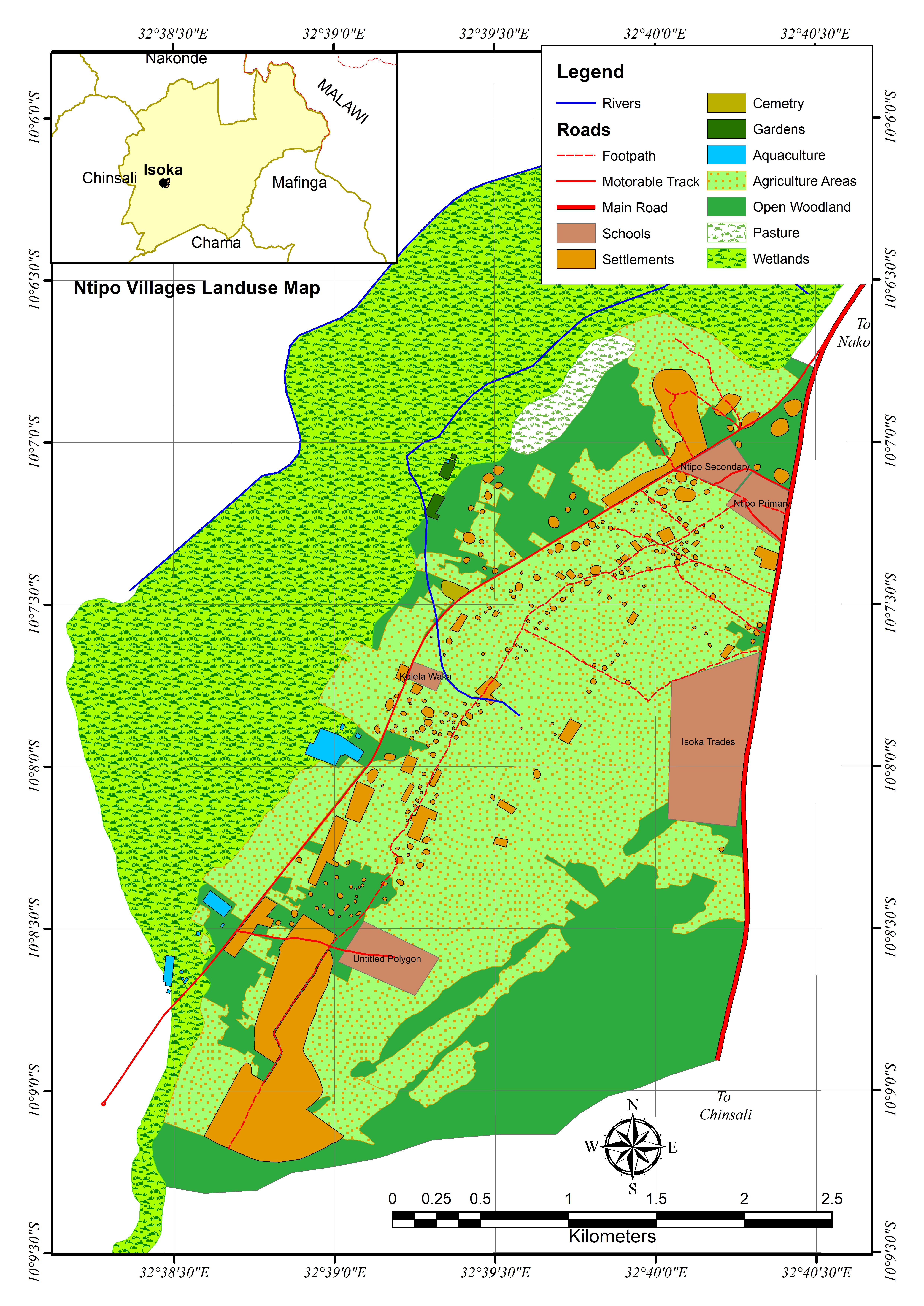
- Digital Mapping & GIS Analysis: Custom thematic maps and spatial modeling for urban and rural development.
- Remote Sensing & Satellite Imagery: Utilizing satellite data for land cover classification and environmental monitoring.
- Asset Management Systems: Integrating GIS with property data for efficient infrastructure and estate management.
- Spatial Database Management: Organizing and maintaining large-scale geodata for institutional and municipal use.
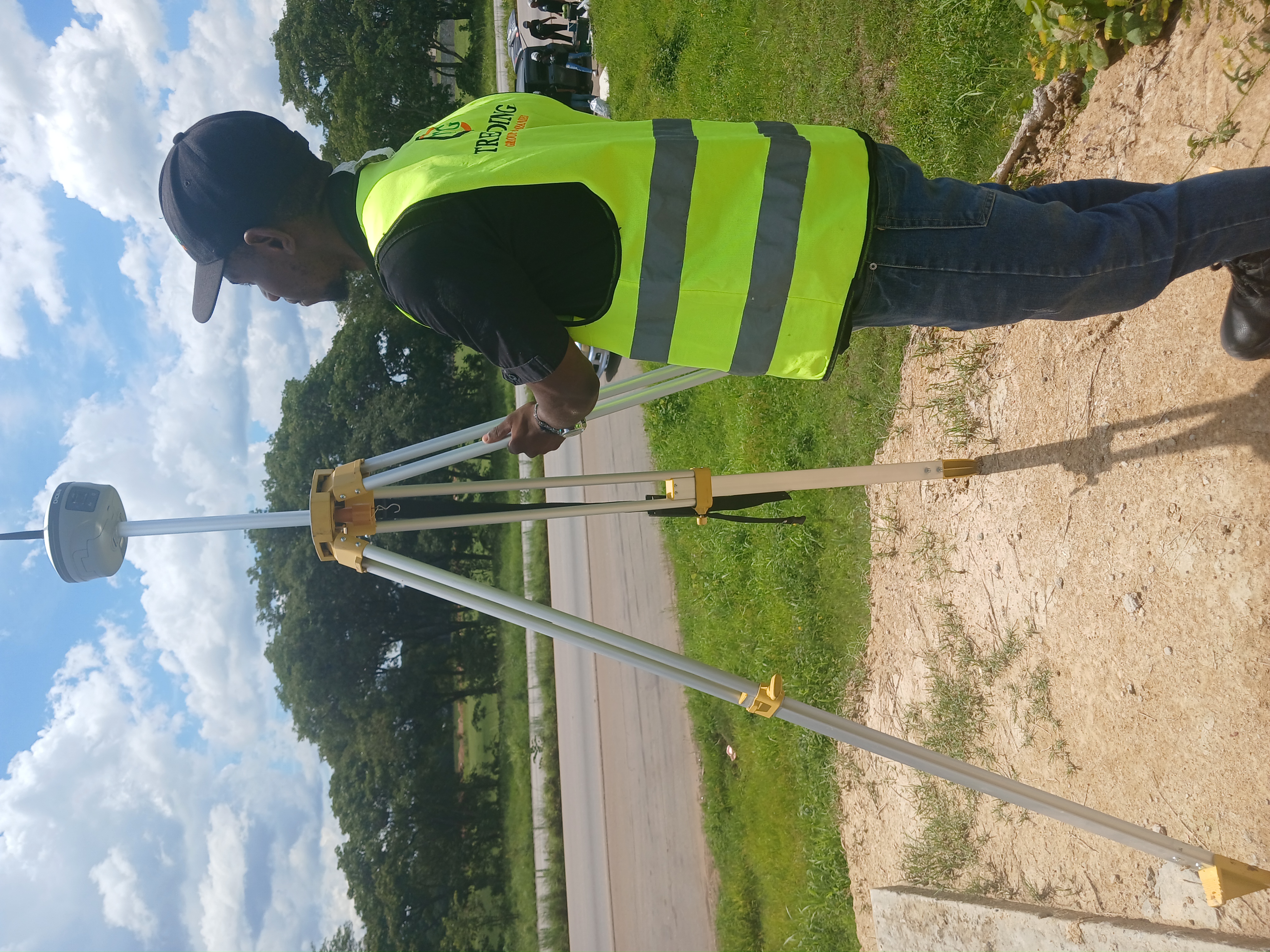
- Drone-to-GIS Integration: Converting aerial imagery into precise 2D orthomosaics and 3D digital surface models (DSM).
100%
Statutory ComplianceFast-Track
Approval Process
Get Expert Advice
Need professional guidance on your next development project? Our certified planners are ready to assist.
Request a Quote